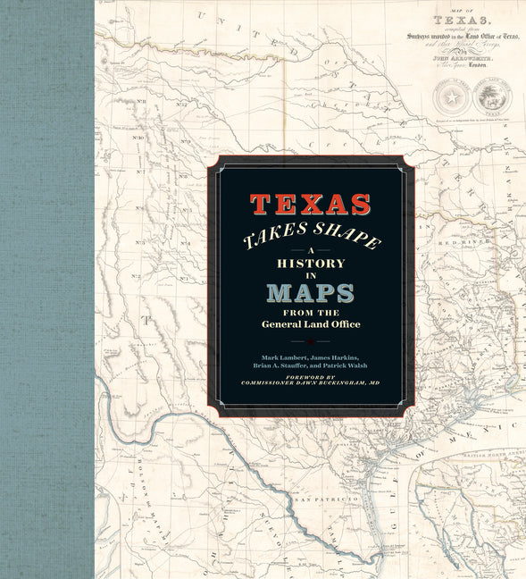
Texas Takes Shape: A History in Maps from the General Land Office


Texas Takes Shape: A History in Maps from the General Land Office
Texas Takes Shape: A History in Maps from the General Land Office
Description
Description
A comprehensive volume on historical mapping in Texas.
The Texas General Land Office's map collection contains over 45,000 maps, some dating from the sixteenth century, making it one of the most important cartographic archives in Texas. As products and agents of history drawn by cartographers with motives and means as diverse as the places they document, maps provide a unique perspective on geopolitical, cultural, and economic processes. The maps of the GLO offer key insights into Texas's sprawling history. They speak to issues of changing borders, social and political upheaval, and questions of sovereignty and power.
Texas Takes Shape offers an illuminating selection from the GLO archive: over one hundred maps that tell--and sometimes obscure--the stories of European colonization, Spanish and Mexican rule, the Republic of Texas, and the modern US state. There are maps here of every scale, from the hemispheric visions of European explorers to individual survey plats. Accompanying essays offer fascinating lessons on topics ranging from Indigenous cartography to military and railroad mapmaking and frontier surveys. Artful and informative, Texas Takes Shape examines a unique place through the eyes and imaginations of those who sought to govern it, profit from it, understand it, and call it home.
About the Author
About the Author
Mark Lambert is the Senior Deputy Director for Heritage at the Texas General Land Office. James Harkins is the Deputy Director of Archives and Records. Brian A. Stauffer is the Director of Public Services and the author of Victory on Earth or in Heaven: Mexico's Religionero Rebellion. Patrick Walsh is a research specialist.
Critical Reviews
Critical Reviews
Detailed, artistic maps tell the story of Texas's evolving borders and landscapes. Great for history buffs, designers, and fans of vintage cartography.
-- "365 Things Austin" (11/20/2025 12:00:00 AM)Each map is beautifully rendered and the accompanying essay is engrossing.
-- "Denton Record-Chronicle" (12/5/2025 12:00:00 AM)
Publishing Information
Publishing Information

The Allstora Membership
Membership Perks:
- Save 30% on all online store purchases
- Exclusive access to author's content
- You pay less, but authors still earn double
Membership Terms:
- To access membership discount simply log in and add to cart, discount applied automatically.
- One month free trial, cancel anytime. Membership renews on the 15th of each month.